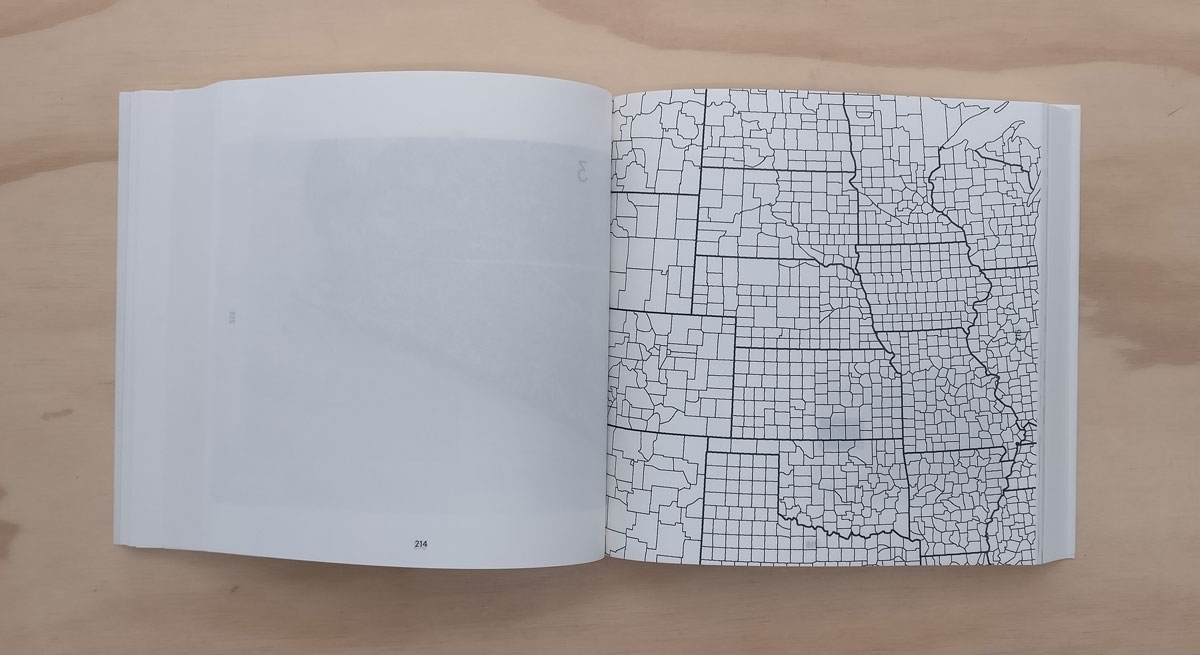
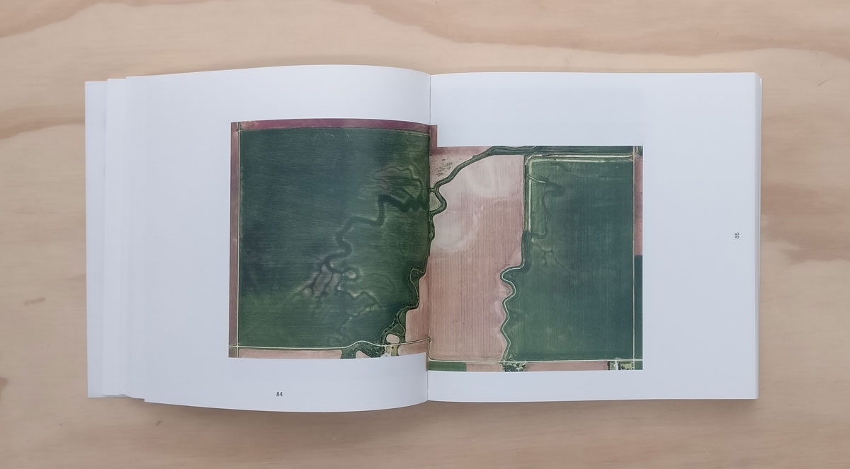
The Public Land Survey System or Jefferson Grid is the system with which surveyors divided the middle and west of the United States into neat squares of exactly one by one mile in the late eighteenth century. But because the earth is round, the lines tapered to the north. Therefore the grid had to be corrected: every 20 miles, grid corrections brought theory and practice back together.
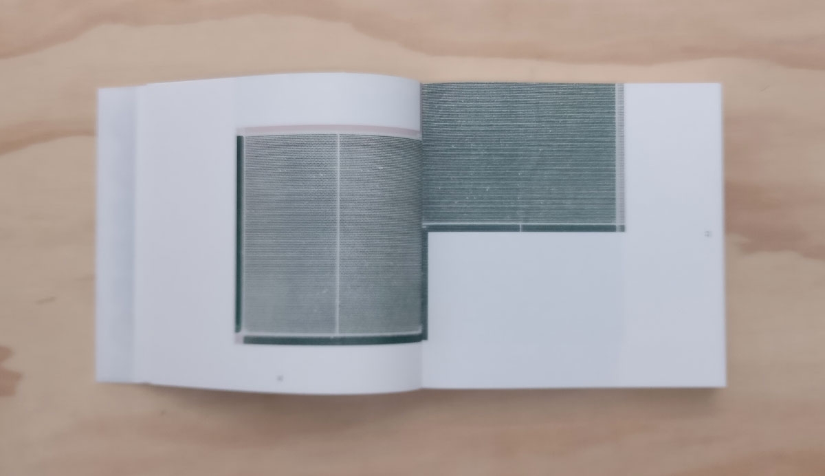
When pilot and aerial photographer Gerco de Ruijter drove along these dead straight dust roads during a residency in Wichita (Kansas) in 2016, he came across them: small bends and T-junctions in an otherwise completely geometric road network. The grid corrections are all different and therefore create a multiform and dynamic series of images that alienates and amazes. With the help of Google Earth, De Ruijter looked up thousands of these corrections: snowed under or dried up, in cities and in deserts, throughout the seasons.
This book presents a selection of over 250 grid corrections, selected and designed by Gerco de Ruijter and graphic designer Irma Boom. Accompanied by a text by writer Peter Delpeut, this exceptionally designed book is a work of art and monument in one, a testimony to the human urge to design the landscape and the many ways in which nature responds to that urge.
The Public Land Survey System or Jefferson Grid is the system with which surveyors divided the middle and west of the United States into neat squares of exactly one by one mile in the late eighteenth century. But because the earth is round, the lines tapered to the north. Therefore the grid had to be corrected: every 20 miles, grid corrections brought theory and practice back together.
When pilot and aerial photographer Gerco de Ruijter drove along these dead straight dust roads during a residency in Wichita (Kansas) in 2016, he came across them: small bends and T-junctions in an otherwise completely geometric road network. The grid corrections are all different and therefore create a multiform and dynamic series of images that alienates and amazes. With the help of Google Earth, De Ruijter looked up thousands of these corrections: snowed under or dried up, in cities and in deserts, throughout the seasons.
This book presents a selection of over 250 grid corrections, selected and designed by Gerco de Ruijter and graphic designer Irma Boom. Accompanied by a text by writer Peter Delpeut, this exceptionally designed book is a work of art and monument in one, a testimony to the human urge to design the landscape and the many ways in which nature responds to that urge.