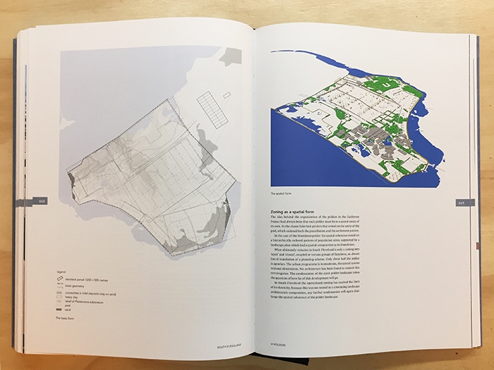
An impressive and authoritative investigation, the Polderatlas advances research in the polder landscape of the Netherlands and has been produced in co-operation with the Technical University in Delft. With some 300 maps, drawings and aerial photographs, the atlas systematically documents the richness and diversity of the 4,000 polders throughout the country. Through the use of examples the atlas traces the different typological aspects of their different designs in depth, while a digitalised map provides the locations of all polders.
/ Ook uitgegeven in het Nederlands