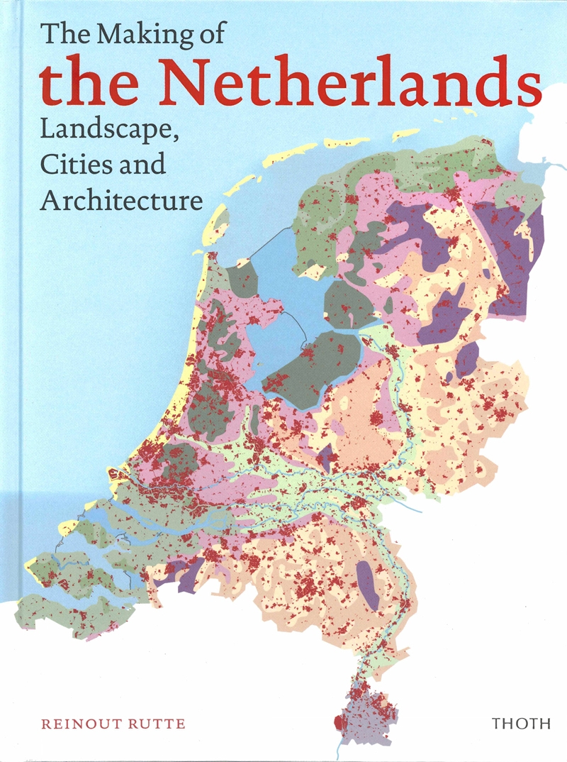
The book The Making of the Netherlands explores the nation's spatial organization and explains why the country looks the way it does.
The Netherlands are a mosaic of man-made landscapes. Its low-lying sections were shaped by water and made-and kept-habitable by means of terps, dykes, dams and reclamations. The peat and clay soils made for excellent farming and turf production. The higher sections saw small-scale sand reclamations, often profoundly altered at a later date by land consolidation and urbanization.
This atlas describes the different landscapes and their associated cultural histories. For instance, how can we explain the regional variation in the layouts of towns and villages or in the appearance of churches and farms? And what was the impact of canals, railroads and motorways on the development of towns? Maps, plans, paintings and photos tell the story of how the Netherlands in the course of two millennia achieved its present appearance.
This lavishly illustrated atlas also presents a second narrative: the representation of town and countryside in Dutch art. Besides being an urban, architectural and art historian, author Reinout Rutte is also an enthusiastic cyclist. Throughout this atlas, his fervent endorsement of the bicycle as the ideal vehicle for exploring the Dutch landscape shines through.